
Llorona topographic map
Interactive map
Click on the map to display elevation.
About this map
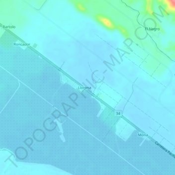
Name: Llorona topographic map, elevation, terrain.
Location: Llorona, Cantón Quepos, Provincia Puntarenas, Costa Rica (9.38564 -84.10163 9.42564 -84.06163)
Average elevation: 23 ft
Minimum elevation: 7 ft
Maximum elevation: 256 ft