
Lorraine topographic map
Interactive map
Click on the map to display elevation.
About this map
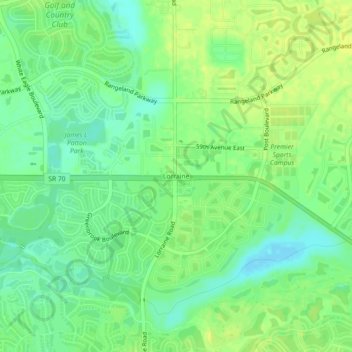
Name: Lorraine topographic map, elevation, terrain.
Location: Lorraine, Manatee County, Florida, 34211, USA (27.41211 -82.41523 27.45211 -82.37523)
Average elevation: 43 ft
Minimum elevation: 10 ft
Maximum elevation: 62 ft