
龙道河 topographic map
Interactive map
Click on the map to display elevation.
About this map
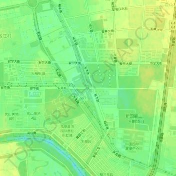
Name: 龙道河 topographic map, elevation, terrain.
Location: 龙道河, 桃山村, 顺义区, 北京市, 中国 (40.06317 116.52280 40.09666 116.53585)
Average elevation: 95 ft
Minimum elevation: 59 ft
Maximum elevation: 118 ft