
胡菜沟山 topographic map
Interactive map
Click on the map to display elevation.
About this map
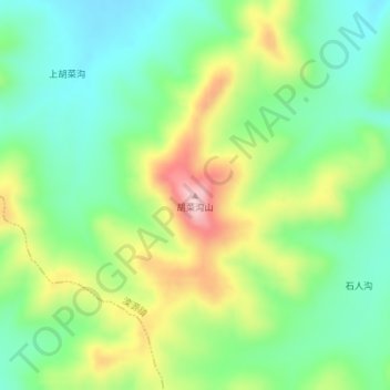
Name: 胡菜沟山 topographic map, elevation, terrain.
Location: 胡菜沟山, 多伦县, 锡林郭勒盟, 内蒙古自治区, 中国 (42.02059 116.52223 42.02069 116.52233)
Average elevation: 4,793 ft
Minimum elevation: 4,528 ft
Maximum elevation: 5,256 ft
Other topographic maps
Click on a map to view its topography, its elevation and its terrain.