
Hawks topographic map
Interactive map
Click on the map to display elevation.
About this map
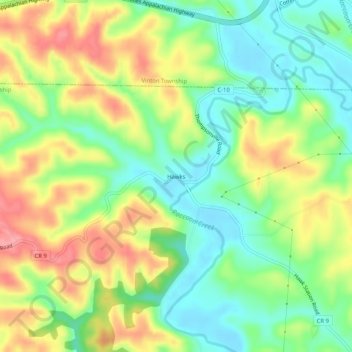
Name: Hawks topographic map, elevation, terrain.
Location: Hawks, Wilkesville Township, Vinton County, Ohio, 45695, USA (39.09146 -82.40710 39.13146 -82.36710)
Average elevation: 764 ft
Minimum elevation: 617 ft
Maximum elevation: 961 ft