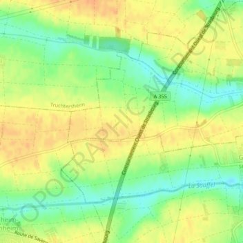
Strählen (1er Zug) topographic map
Interactive map
Click on the map to display elevation.
About this map
Name: Strählen (1er Zug) topographic map, elevation, terrain.
Average elevation: 545 ft
Minimum elevation: 476 ft
Maximum elevation: 594 ft

Click on the map to display elevation.
Name: Strählen (1er Zug) topographic map, elevation, terrain.
Average elevation: 545 ft
Minimum elevation: 476 ft
Maximum elevation: 594 ft