
Portageville topographic map
Interactive map
Click on the map to display elevation.
About this map
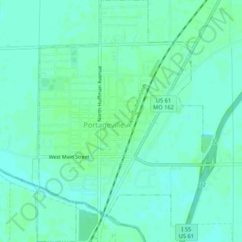
Name: Portageville topographic map, elevation, terrain.
Location: Portageville, New Madrid County, Missouri, United States (36.41503 -89.71173 36.44447 -89.68626)
Average elevation: 282 ft
Minimum elevation: 269 ft
Maximum elevation: 292 ft
Other topographic maps
Click on a map to view its topography, its elevation and its terrain.
Jaywye
United States > Missouri > New Madrid County > Jaywye
Jaywye, New Madrid County, Missouri, United States
Average elevation: 279 ft
Hurricane Ridge
United States > Missouri > New Madrid County
Hurricane Ridge, New Madrid County, Missouri, 63833, United States
Average elevation: 282 ft