
高新区汉江国投运动公园 topographic map
Interactive map
Click on the map to display elevation.
About this map
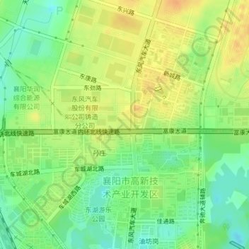
Name: 高新区汉江国投运动公园 topographic map, elevation, terrain.
Location: 高新区汉江国投运动公园, 富康园, 米庄镇, 襄州区, 襄阳市, 湖北省, 中国 (32.12031 112.18198 32.12150 112.18395)
Average elevation: 276 ft
Minimum elevation: 220 ft
Maximum elevation: 325 ft