
Yahyalı topographic map
Interactive map
Click on the map to display elevation.
About this map
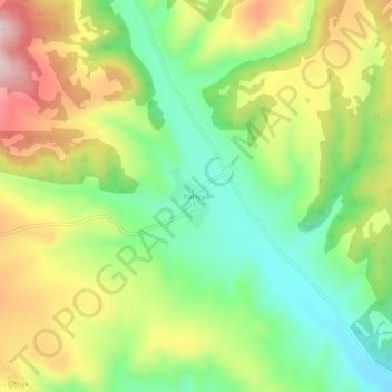
Name: Yahyalı topographic map, elevation, terrain.
Location: Yahyalı, Şarkışla, Sivas, Zentralanatolien, Türkei (39.59735 36.19061 39.63735 36.23061)
Average elevation: 4,990 ft
Minimum elevation: 4,528 ft
Maximum elevation: 5,617 ft