
Roccaporena topographic map
Interactive map
Click on the map to display elevation.
About this map
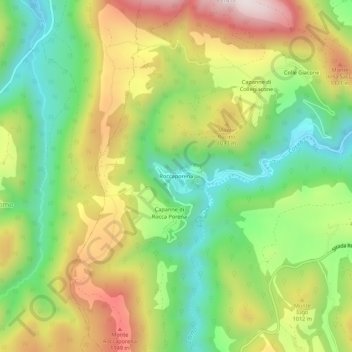
Name: Roccaporena topographic map, elevation, terrain.
Location: Roccaporena, Cascia, Perugia, Ombrie, 06043, Italie (42.69445 12.94249 42.73445 12.98249)
Average elevation: 3,018 ft
Minimum elevation: 2,113 ft
Maximum elevation: 4,206 ft