
南朱家桥 topographic map
Interactive map
Click on the map to display elevation.
About this map
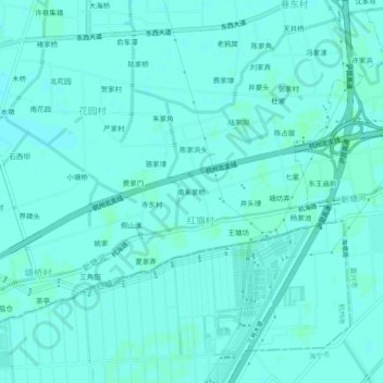
Name: 南朱家桥 topographic map, elevation, terrain.
Location: 南朱家桥, 许村镇, 海宁市, 嘉兴市, 浙江省, 中国 (30.36929 120.35687 30.40929 120.39687)
Average elevation: 23 ft
Minimum elevation: 16 ft
Maximum elevation: 30 ft
Other topographic maps
Click on a map to view its topography, its elevation and its terrain.