
Baní topographic map
Interactive map
Click on the map to display elevation.
About this map
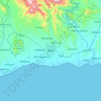
Name: Baní topographic map, elevation, terrain.
Location: Baní, Peravia, D.R. (18.11772 -70.49207 18.43772 -70.17207)
Average elevation: 489 ft
Minimum elevation: -3 ft
Maximum elevation: 5,007 ft