
Ilhas topographic map
Interactive map
Click on the map to display elevation.
About this map
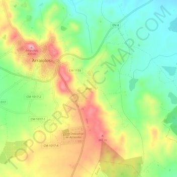
Name: Ilhas topographic map, elevation, terrain.
Location: Ilhas, Arraiolos, Évora, Alentejo Central, Alentejo, Portugal (38.69664 -7.99130 38.73664 -7.95130)
Average elevation: 997 ft
Minimum elevation: 764 ft
Maximum elevation: 1,293 ft