
George W. Joseph State Park topographic map
Interactive map
Click on the map to display elevation.
About this map
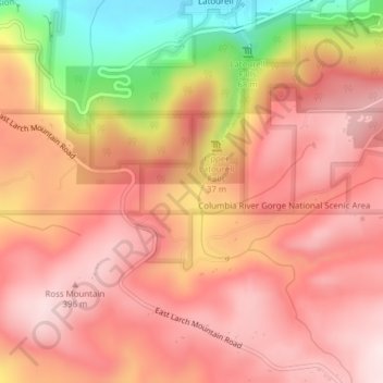
Name: George W. Joseph State Park topographic map, elevation, terrain.
Average elevation: 932 ft
Minimum elevation: 43 ft
Maximum elevation: 1,362 ft