
桐柏县 topographic map
Interactive map
Click on the map to display elevation.
About this map
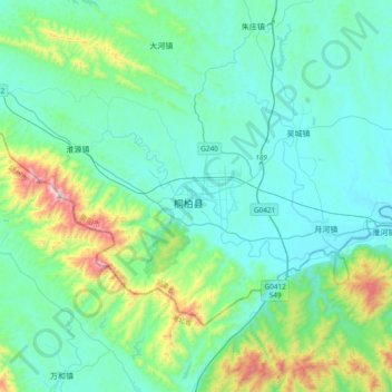
Name: 桐柏县 topographic map, elevation, terrain.
Location: 桐柏县, 南阳市 / Nanyang, Henan, China (32.21678 113.24904 32.53678 113.56904)
Average elevation: 928 ft
Minimum elevation: 358 ft
Maximum elevation: 3,655 ft