
Grandview Park topographic map
Interactive map
Click on the map to display elevation.
About this map
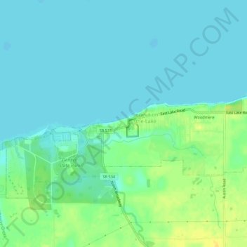
Name: Grandview Park topographic map, elevation, terrain.
Location: Grandview Park, Ashtabula County, Ohio, USA (41.83894 -80.97871 41.87894 -80.93871)
Average elevation: 584 ft
Minimum elevation: 561 ft
Maximum elevation: 636 ft