
朝阳镇 topographic map
Interactive map
Click on the map to display elevation.
About this map
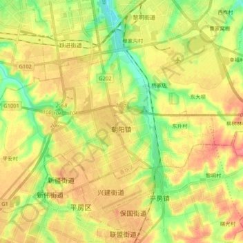
Name: 朝阳镇 topographic map, elevation, terrain.
Location: 朝阳镇, 香坊区, 哈尔滨市, 黑龙江省, 150000, 中国 (45.59290 126.55881 45.67780 126.71953)
Average elevation: 568 ft
Minimum elevation: 463 ft
Maximum elevation: 663 ft