
Celle topographic map
Interactive map
Click on the map to display elevation.
About this map
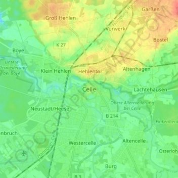
Name: Celle topographic map, elevation, terrain.
Location: Celle, Celle (arrondissement), Basse-Saxe, 29221, Allemagne (52.58406 10.04105 52.66406 10.12105)
Average elevation: 148 ft
Minimum elevation: 95 ft
Maximum elevation: 233 ft