
Turkey Creek topographic map
Interactive map
Click on the map to display elevation.
About this map
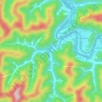
Name: Turkey Creek topographic map, elevation, terrain.
Location: Turkey Creek, Pike County, Kentucky, 41514, United States (37.65093 -82.32709 37.69093 -82.28709)
Average elevation: 1,024 ft
Minimum elevation: 600 ft
Maximum elevation: 1,765 ft