
一渡河村 topographic map
Interactive map
Click on the map to display elevation.
About this map
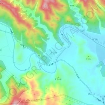
Name: 一渡河村 topographic map, elevation, terrain.
Location: 一渡河村, 怀柔区, 北京市, 中国 (40.31806 116.48146 40.35806 116.52146)
Average elevation: 604 ft
Minimum elevation: 259 ft
Maximum elevation: 1,450 ft