Mechtet Khaber topographic map
Interactive map
Click on the map to display elevation.
About this map
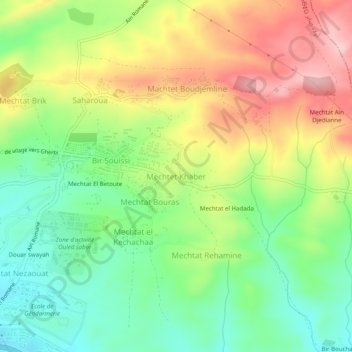
Name: Mechtet Khaber topographic map, elevation, terrain.
Average elevation: 3,783 ft
Minimum elevation: 3,507 ft
Maximum elevation: 4,144 ft

Click on the map to display elevation.
Name: Mechtet Khaber topographic map, elevation, terrain.
Average elevation: 3,783 ft
Minimum elevation: 3,507 ft
Maximum elevation: 4,144 ft