
Borondes topographic map
Interactive map
Click on the map to display elevation.
About this map
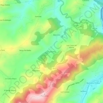
Name: Borondes topographic map, elevation, terrain.
Location: Borondes, Grau/Grado, Asturie, 33825, Spagna (43.33387 -6.02263 43.37387 -5.98263)
Average elevation: 745 ft
Minimum elevation: 213 ft
Maximum elevation: 1,549 ft