
古田县 topographic map
Interactive map
Click on the map to display elevation.
About this map
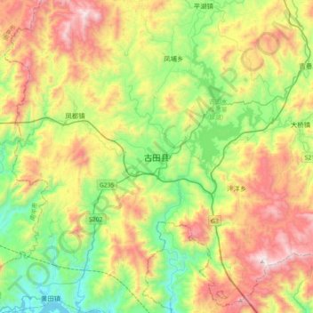
Name: 古田县 topographic map, elevation, terrain.
Location: 古田县, 宁德市, 福建省, 中国 (26.42145 118.58144 26.74145 118.90144)
Average elevation: 1,998 ft
Minimum elevation: 184 ft
Maximum elevation: 4,839 ft
Other topographic maps
Click on a map to view its topography, its elevation and its terrain.