
平泉町 topographic map
Interactive map
Click on the map to display elevation.
About this map
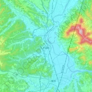
Name: 平泉町 topographic map, elevation, terrain.
Location: 平泉町, 西磐井郡, Prefectura de Iwate, Japón (38.94960 141.00643 39.02880 141.19207)
Average elevation: 351 ft
Minimum elevation: 30 ft
Maximum elevation: 1,906 ft