
Northwest topographic map
Interactive map
Click on the map to display elevation.
About this map
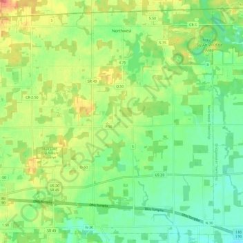
Name: Northwest topographic map, elevation, terrain.
Location: Northwest, Williams County, Ohio, United States (41.61830 -84.80598 41.69956 -84.68879)
Average elevation: 965 ft
Minimum elevation: 876 ft
Maximum elevation: 1,102 ft