
Bachwai topographic map
Interactive map
Click on the map to display elevation.
About this map
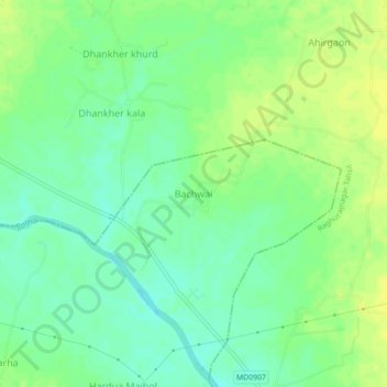
Name: Bachwai topographic map, elevation, terrain.
Location: Bachwai, Nagod Tahsil, Satna, Madhya Pradesh, India (24.59480 80.72749 24.63480 80.76749)
Average elevation: 1,033 ft
Minimum elevation: 1,001 ft
Maximum elevation: 1,063 ft