

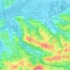
Anglet topographic map
Click on the map to display elevation.
Anglet
In 1557, the Saint Léon church was demolished and transferred to its current location in 1564 in front of the current Hôtel de Ville (town hall) of Anglet. As Manex Goyhenetche points out in his book on Anglet, the city was then "the surrounding countryside of Bayonne", "densely populated rural suburb of peasants". It was more than a single entity, but a set of different districts including religious buildings (chapels) which have disappeared today. It was a large rural territory dominated by a topography of landforms (plateaus and terraces) and lower parts (Barthes and streams) covered various agricultural operations, woods, orchards, vineyards, and mills which lived on agriculture and cattle.
About this map
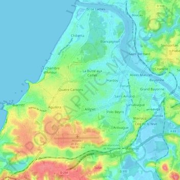
Name: Anglet topographic map, elevation, terrain.
Average elevation: 75 ft
Minimum elevation: -10 ft
Maximum elevation: 299 ft
Other topographic maps
Click on a map to view its topography, its elevation and its terrain.
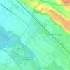
Urdazuri
France > Nouvelle-Aquitaine > Pyrénées-Atlantiques > Saint-Jean-de-Luz
Average elevation: 75 ft

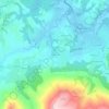
Coustères
France > Nouvelle-Aquitaine > Pyrénées-Atlantiques > Salies-de-Béarn
Average elevation: 266 ft


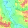
Larroinea
France > Nouvelle-Aquitaine > Pyrénées-Atlantiques > Saint-Jean-Pied-de-Port
Average elevation: 669 ft
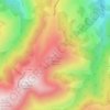
Izpegi
France > Nouvelle-Aquitaine > Pyrénées-Atlantiques > Saint-Étienne-de-Baïgorry
Average elevation: 2,073 ft

Château-Observatoire Abbadia
France > Nouvelle-Aquitaine > Pyrénées-Atlantiques > Hendaye > Sopite
Average elevation: 82 ft
Pic d'Orisson / Harburu
France > Nouvelle-Aquitaine > Pyrénées-Atlantiques > Saint-Michel
Average elevation: 2,680 ft

Agerreko Larrea
France > Nouvelle-Aquitaine > Pyrénées-Atlantiques > Mouguerre
Average elevation: 128 ft


Pic d'Orisson / Harburu
France > Nouvelle-Aquitaine > Pyrénées-Atlantiques > Saint-Michel
Average elevation: 2,680 ft