
Mangadu topographic map
Interactive map
Click on the map to display elevation.
About this map
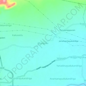
Name: Mangadu topographic map, elevation, terrain.
Location: Mangadu, Nagari, Chittoor, Andhra Pradesh, 517590, India (13.31745 79.58707 13.35745 79.62707)
Average elevation: 384 ft
Minimum elevation: 312 ft
Maximum elevation: 758 ft