
Pearson topographic map
Interactive map
Click on the map to display elevation.
About this map
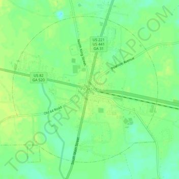
Name: Pearson topographic map, elevation, terrain.
Location: Pearson, Atkinson County, Georgia, 31642, United States (31.28304 -82.87811 31.31211 -82.83647)
Average elevation: 200 ft
Minimum elevation: 171 ft
Maximum elevation: 220 ft
Other topographic maps
Click on a map to view its topography, its elevation and its terrain.
Willacoochee
United States > Georgia > Atkinson County
Willacoochee, Atkinson County, Georgia, United States
Average elevation: 223 ft