Geolocate

Willacoochee topographic map

Click on the map to display elevation.

About this map

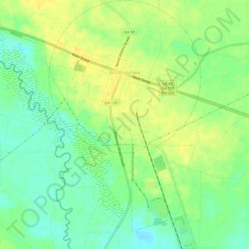
Name: Willacoochee topographic map, elevation, terrain.

Location: Willacoochee, Atkinson County, Georgia, United States (31.30707 -83.06290 31.35452 -83.02901)

Average elevation: 223 ft

Minimum elevation: 184 ft

Maximum elevation: 256 ft

Atkinson County trails, hiking, mountain biking, running and outdoor activities

Gear up for your next adventure:

📚Navigation Handbooks - Master the art of reading topographic maps and using a compass
🧭Pro Hiking Compasses - High-accuracy liquid-filled compasses for topographic orientation
🥇GPS Hiking Watch - Multi‑sport GPS watch with navigation and trail tracking
🛠️Outdoor Gear Repair Kit - Essential tools to fix gear on the trail
🪶LED Camping Lantern - Bright lantern for camp lighting

As an Amazon Associate, this site earns from qualifying purchases at no extra cost to you.