
Oberlauken topographic map
Interactive map
Click on the map to display elevation.
About this map
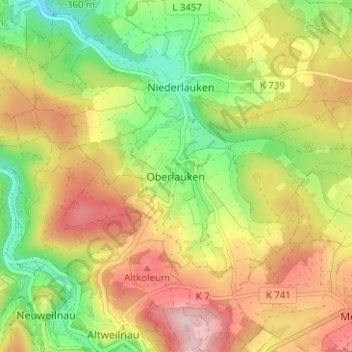
Name: Oberlauken topographic map, elevation, terrain.
Location: Oberlauken, Weilrod, Hochtaunuskreis, Hessen, 61276, Deutschland (50.31390 8.41162 50.35390 8.45162)
Average elevation: 1,227 ft
Minimum elevation: 869 ft
Maximum elevation: 1,604 ft