
Lac Culotte topographic map
Interactive map
Click on the map to display elevation.
About this map
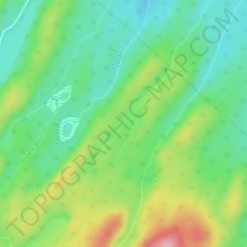
Name: Lac Culotte topographic map, elevation, terrain.
Average elevation: 692 ft
Minimum elevation: 495 ft
Maximum elevation: 1,060 ft
Other topographic maps
Click on a map to view its topography, its elevation and its terrain.
Lac Quesnel
Canada > Québec > Rimouski-Neigette > Saint-Eugène-de-Ladrière
Lac Quesnel, Saint-Eugène-de-Ladrière, Rimouski-Neigette, Bas-Saint-Laurent, Québec, Canada
Average elevation: 666 ft