
La Grande Plage topographic map
Interactive map
Click on the map to display elevation.
About this map
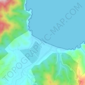
Name: La Grande Plage topographic map, elevation, terrain.
Location: La Grande Plage, Ain Zouit, El Hadaik District, Skikda, Algeria (36.93089 6.84717 36.93614 6.86191)
Average elevation: 161 ft
Minimum elevation: 0 ft
Maximum elevation: 988 ft