
洱海公园 topographic map
Interactive map
Click on the map to display elevation.
About this map
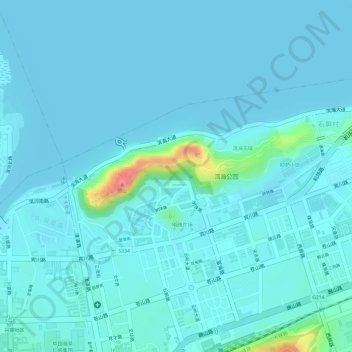
Name: 洱海公园 topographic map, elevation, terrain.
Location: 洱海公园, 天井街道, 大理市, 大理白族自治州, 云南省, 中国 (25.60241 100.23726 25.60865 100.25476)
Average elevation: 6,463 ft
Minimum elevation: 6,434 ft
Maximum elevation: 6,703 ft