
Jhuni topographic map
Interactive map
Click on the map to display elevation.
About this map
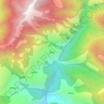
Name: Jhuni topographic map, elevation, terrain.
Location: Jhuni, Kapkot, Bageshwar, Uttarakhand, India (30.09131 79.96969 30.13131 80.00969)
Average elevation: 8,494 ft
Minimum elevation: 6,129 ft
Maximum elevation: 11,312 ft