
Aïn Beida topographic map
Interactive map
Click on the map to display elevation.
About this map
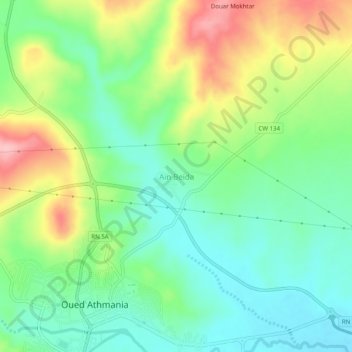
Name: Aïn Beida topographic map, elevation, terrain.
Location: Aïn Beida, Oued Athmania, Daïra Chelghoum Laïd, Mila, Algérie (36.24408 6.27859 36.28408 6.31859)
Average elevation: 2,408 ft
Minimum elevation: 2,224 ft
Maximum elevation: 2,733 ft