
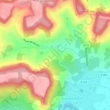
La Rigonne topographic map
Interactive map
Click on the map to display elevation.
About this map
Name: La Rigonne topographic map, elevation, terrain.
Average elevation: 364 ft
Minimum elevation: 98 ft
Maximum elevation: 633 ft
Other topographic maps
Click on a map to view its topography, its elevation and its terrain.
Castelmoron-sur-Lot
França > Nouvelle-Aquitaine > Lot-et-Garonne > Castelmoron-sur-Lot
Castelmoron-sur-Lot, Marmande, Lot-et-Garonne, Nouvelle-Aquitaine, França metropolitana, 47260, França
Average elevation: 266 ft