
Malden West Camp Fire District Map topographic map
Interactive map
Click on the map to display elevation.
About this map
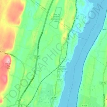
Name: Malden West Camp Fire District Map topographic map, elevation, terrain.
Average elevation: 161 ft
Minimum elevation: -7 ft
Maximum elevation: 591 ft