
Calahorra topographic map
Interactive map
Click on the map to display elevation.
About this map
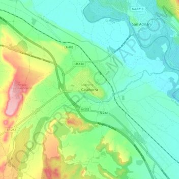
Name: Calahorra topographic map, elevation, terrain.
Location: Calahorra, La Rioja, 26500, Spagna (42.26352 -2.00488 42.34352 -1.92488)
Average elevation: 1,096 ft
Minimum elevation: 932 ft
Maximum elevation: 1,503 ft