
Bahadurabad topographic map
Interactive map
Click on the map to display elevation.
About this map
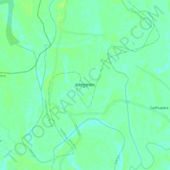
Name: Bahadurabad topographic map, elevation, terrain.
Location: Bahadurabad, জামালপুর জেলা, Mymensingh Division, Bangladesh (25.18459 89.73488 25.26459 89.81488)
Average elevation: 69 ft
Minimum elevation: 52 ft
Maximum elevation: 82 ft