
El Djorf topographic map
Interactive map
Click on the map to display elevation.
About this map
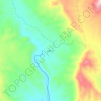
Name: El Djorf topographic map, elevation, terrain.
Location: El Djorf, Stah Guentis, Daïra El Ogla, Tébessa, Algérie (34.90834 7.51627 34.94834 7.55627)
Average elevation: 2,963 ft
Minimum elevation: 2,480 ft
Maximum elevation: 3,770 ft