Geolocate

Mirror lake topographic map

Click on the map to display elevation.

About this map

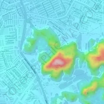
Name: Mirror lake topographic map, elevation, terrain.

Location: Mirror lake, Gunung Rapat, Ipoh, Kinta, Perak, 31350, Malaysia (4.55794 101.11957 4.55996 101.12097)

Average elevation: 262 ft

Minimum elevation: 131 ft

Maximum elevation: 1,066 ft

Other topographic maps

Click on a map to view its topography, its elevation and its terrain.

Gunung Lang

Malaysia > Perak > Ipoh

Average elevation: 177 ft

Gunung Meru

Malaysia > Perak > Ipoh

Average elevation: 1,486 ft

Gear up for your next adventure:

🎁Geography Themed Gifts - Unique gift ideas for map lovers and geography enthusiasts
🪶Multi‑Purpose Knife - Useful blade for camp and trail
🧭Hiking Compass - Precision compass for reliable navigation in the wilderness
📡GPS Antenna Upgrade - Enhance GPS reception in remote terrain
🥘Titanium Cookware - Durable, featherlight pots and pans for backpacking

As an Amazon Associate, this site earns from qualifying purchases at no extra cost to you.