
Segade topographic map
Interactive map
Click on the map to display elevation.
About this map
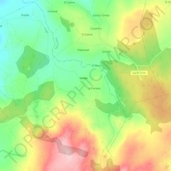
Name: Segade topographic map, elevation, terrain.
Location: Segade, Teixeiro, Lugo, Galicia, 27289, España (43.05511 -7.46439 43.09511 -7.42439)
Average elevation: 1,886 ft
Minimum elevation: 1,562 ft
Maximum elevation: 2,277 ft