
Kg. Melayu Tambun topographic map
Interactive map
Click on the map to display elevation.
About this map
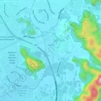
Name: Kg. Melayu Tambun topographic map, elevation, terrain.
Location: Kg. Melayu Tambun, Kinta, Perak, 31400, Malaysia (4.58390 101.12192 4.62390 101.16192)
Average elevation: 305 ft
Minimum elevation: 135 ft
Maximum elevation: 1,526 ft