
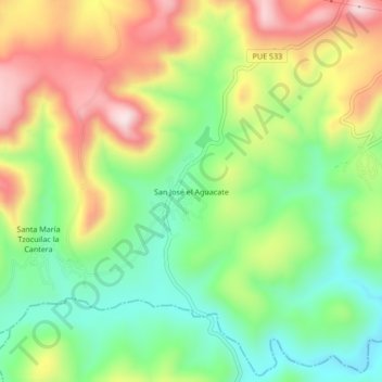
San José el Aguacate topographic map
Interactive map
Click on the map to display elevation.
About this map
Name: San José el Aguacate topographic map, elevation, terrain.
Location: San José el Aguacate, Municipio de Puebla, Puebla, México (18.83611 -98.20722 18.87611 -98.16722)
Average elevation: 6,611 ft
Minimum elevation: 6,053 ft
Maximum elevation: 7,362 ft