
Sunabeda topographic map
Interactive map
Click on the map to display elevation.
About this map
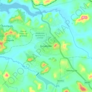
Name: Sunabeda topographic map, elevation, terrain.
Location: Sunabeda, Koraput, Odisha, 763002, India (18.68785 82.78750 18.76785 82.86750)
Average elevation: 2,910 ft
Minimum elevation: 2,782 ft
Maximum elevation: 3,415 ft