
Autrans-Méaudre-en-Vercors topographic map
Interactive map
Click on the map to display elevation.
About this map
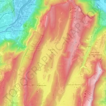
Name: Autrans-Méaudre-en-Vercors topographic map, elevation, terrain.
Average elevation: 3,448 ft
Minimum elevation: 568 ft
Maximum elevation: 6,191 ft