
Sarat topographic map
Interactive map
Click on the map to display elevation.
About this map
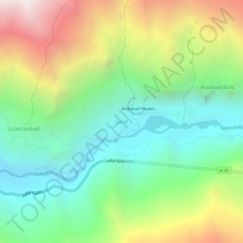
Name: Sarat topographic map, elevation, terrain.
Location: Sarat, Gilgit District, Gilgit-Baltistan, Pakistan (36.28956 74.77424 36.32956 74.81424)
Average elevation: 9,623 ft
Minimum elevation: 7,297 ft
Maximum elevation: 13,704 ft