
Colle San Carlo topographic map
Interactive map
Click on the map to display elevation.
About this map
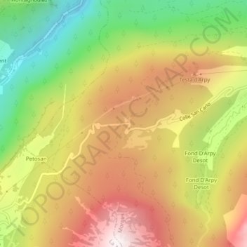
Name: Colle San Carlo topographic map, elevation, terrain.
Location: Colle San Carlo, Morgex, Aosta Valley, 11017, Italy (45.74288 6.98932 45.74298 6.98942)
Average elevation: 5,820 ft
Minimum elevation: 3,825 ft
Maximum elevation: 7,726 ft