
Bürgel topographic map
Interactive map
Click on the map to display elevation.
About this map
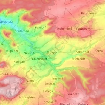
Name: Bürgel topographic map, elevation, terrain.
Location: Bürgel, Saale-Holzland-Kreis, Thüringen, 07616, Deutschland (50.90893 11.69160 50.97613 11.81671)
Average elevation: 965 ft
Minimum elevation: 518 ft
Maximum elevation: 1,280 ft